This device has no English text-to-speech voice, so the article may not be read aloud.
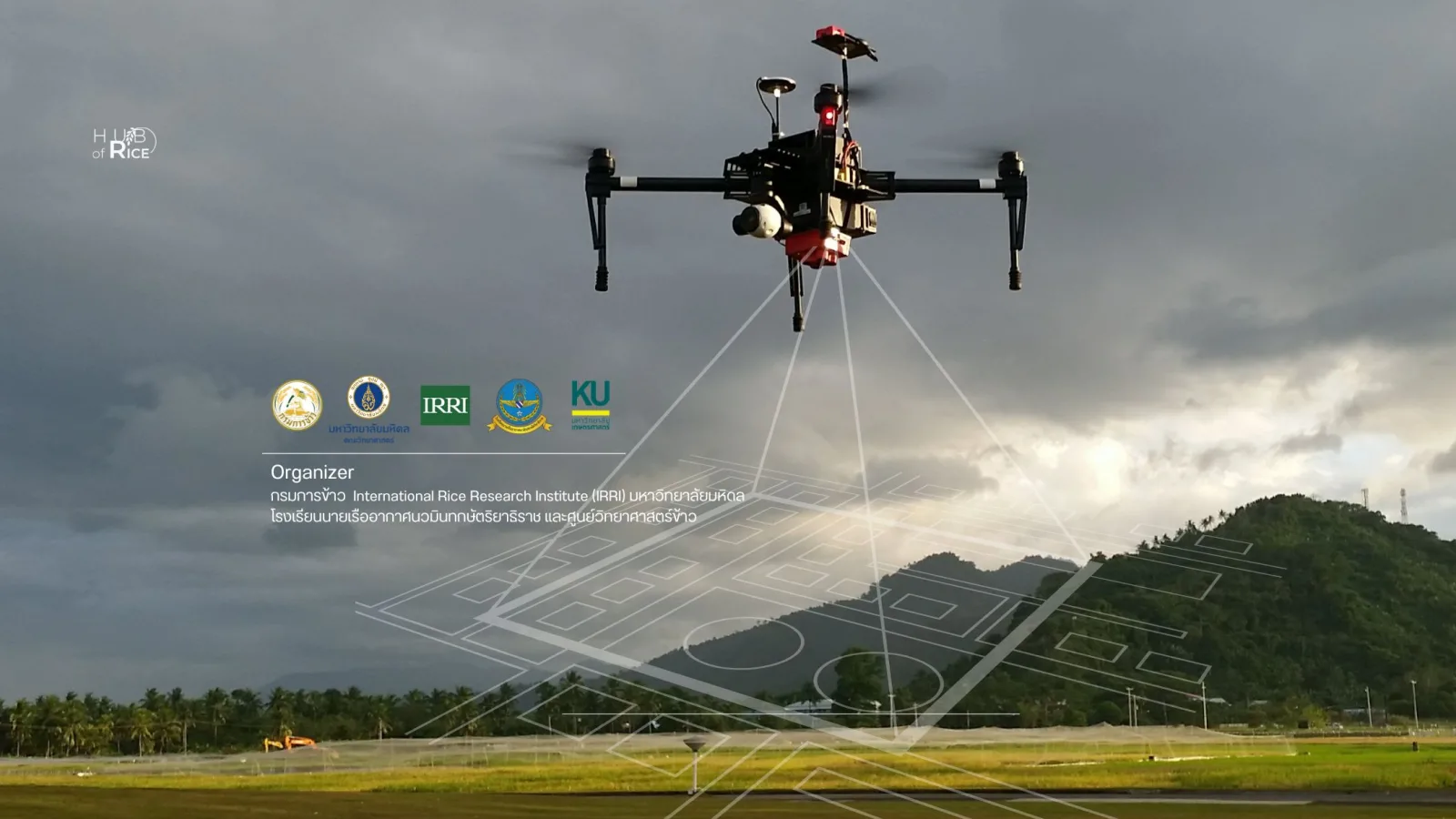
20–21 February 2025 Venue: Ubon Ratchathani Rice Research Center
Free registration at the link below https://thailandricehub.org/event/rice-phenotyping-uav-workshop-thailand/ Limited to 30 participants only
Rationale Agriculture today faces many challenges, especially in managing large cultivation plots, climate change, plant diseases and natural factors that cannot be fully controlled. Unmanned aerial vehicle (UAV) technology, or “drones”, has therefore come to play an important role in agriculture, especially in studying the growth of rice, an important economic crop of Thailand. Using UAVs in agriculture lets farmers and researchers collect data from large rice fields quickly and accurately without having to enter the plots directly. Examining rice growth characteristics in detail through aerial images allows efficient analysis of agricultural data and early prediction of various problems.
To promote the use of this technology in rice study and research, the Ubon Ratchathani Rice Research Center, Rice Department, together with Root Lab Thailand, Faculty of Science, Mahidol University, and the Hub of Rice (Thailand's knowledge hub for rice science and research), is organizing a workshop on using unmanned aerial vehicles (UAVs) to study rice growth, with expert speakers from the International Rice Research Institute (IRRI), the Philippines, and the Navaminda Kasatriyadhiraj Royal Air Force Academy, so that participants can apply UAV technology to study rice growth correctly and efficiently.
Objectives
- To provide basic information on using UAVs to study rice growth The training will begin with basic information on using UAVs in agriculture, especially using UAVs to collect data on rice growth, including how to fly and how to collect aerial image data in rice fields.
- To practice skills in analyzing rice phenotypes and growth Participants will get hands-on practice analyzing rice growth characteristics using UAVs and software that can process UAV images, such as analyzing plant height.
- To teach and practice using software to analyze data Participants will learn to use software that helps analyze data obtained from UAVs, such as PIX4Dmapper trial, QGIS and the R program.
- To provide knowledge of laws related to UAV use This training will include a lecture on laws related to UAV use, covering flight regulations, so that participants can comply with requirements correctly and safely.
To strengthen academic and research cooperation among organizations This training will help strengthen academic and research cooperation among related organizations in Thailand and abroad, with expert speakers from the International Rice Research Institute (IRRI), the Philippines, and the Navaminda Kasatriyadhiraj Royal Air Force Academy sharing knowledge and experience in using UAVs in agricultural studies.